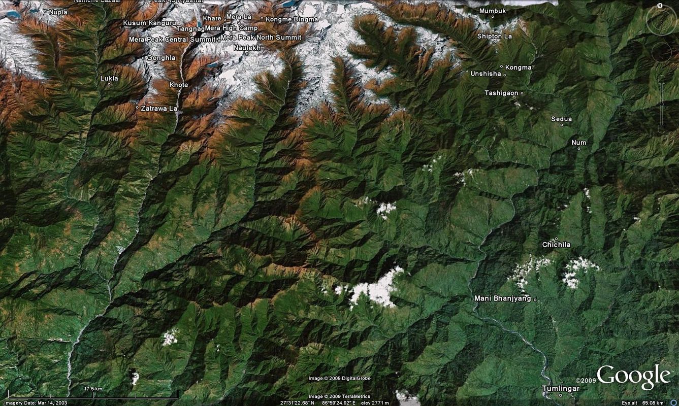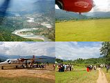


0 1 Google Earth Image Of Makalu Trek From Tumlingtar To Mumbuk [1 of 37]
Here is a Google Earth image of the first part of the Makalu trek from Tumlingtar (355m) to Mane Bhanjyang (1100m), Chichilla (1830m), Num (1500m), crossing the bridge over the Arun River (630m), ascending to Sedua (1460m), and on to Tashigaon (2160m), the last settlement in the valley. From Tashigaon, you climb in a lush cloud forest to the gateway into the Makalu-Barun National Park area at the top of the ridge (3190m), continue climbing to Kongma (3560m), and three passes including the Shipton La (4216m), before descending down to Mumbuk (3500m).
